
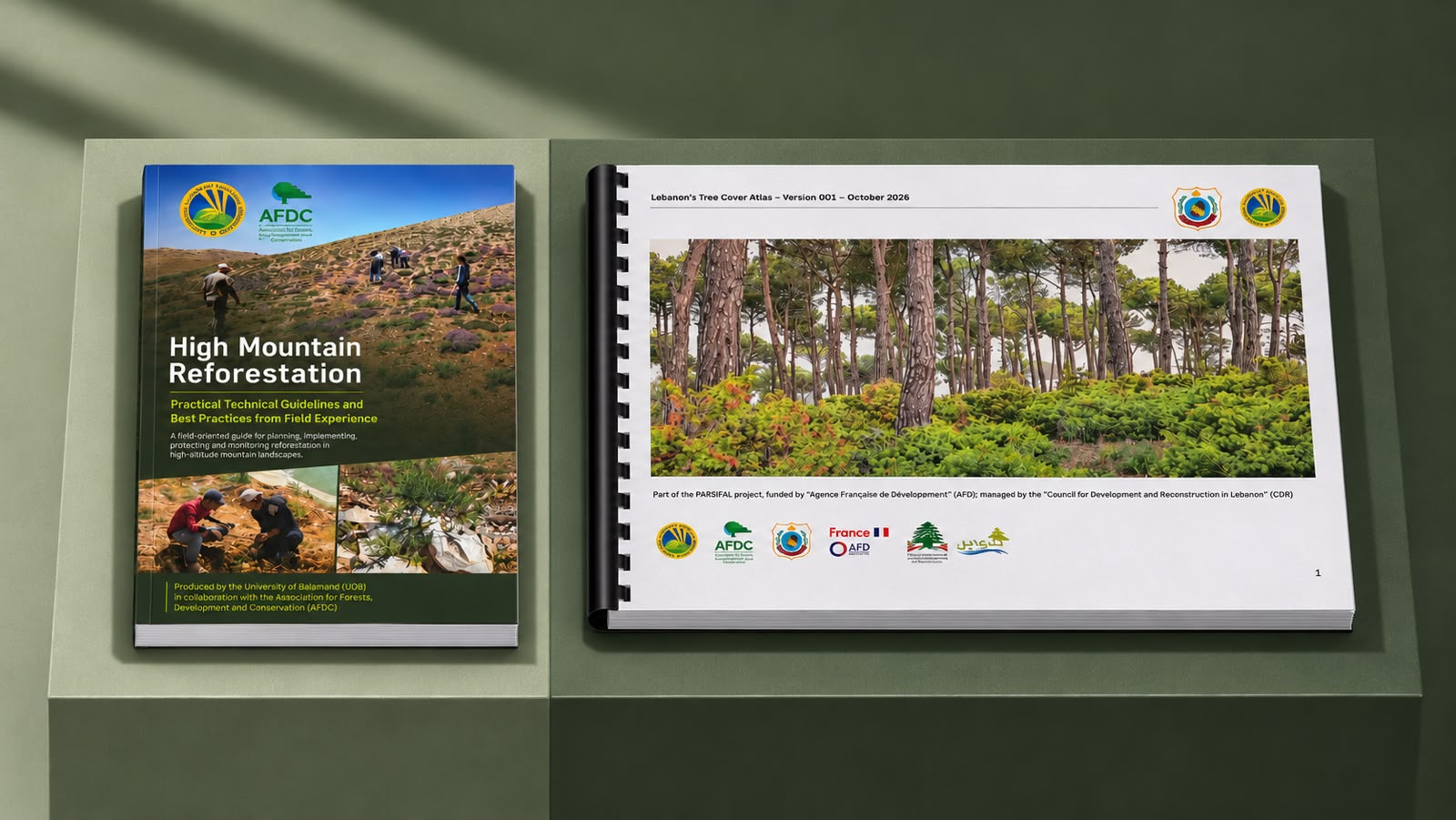
The Land and Natural Resources Program at the Institute of the Environment, University of Balamand (UOB), held a ceremony exploring how field research in Tannourine can inform reforestation efforts across Lebanon’s high mountains and how changes in tree cover can be monitored across forests, agricultural lands, and urban areas. The ceremony also marked the presentation of the scientific findings of the PARSIFAL Project’s extension phase and the launch of High-Mountain Reforestation: Practical Technical Guidelines and Best Practices from Field Experience and the first version of the Lebanon Tree Cover Atlas, accompanied by an interactive dashboard.
The research presented from the Tannourine reforestation site established a scientific baseline for future restoration in Lebanon’s high mountain landscapes. Dr. George Mitri, Director of the Land and Natural Resources Program at UOB’s Institute of the Environment, highlighted the value of having a documented reference against which future teams can assess seedling establishment and growth. Tracking these outcomes over time helps practitioners judge whether plantings are taking hold and identify where follow-up care or changes in practice may be needed.
The new reforestation guidelines, developed in collaboration with the Association for Forests, Development and Conservation (AFDC), translate lessons from Tannourine into practical guidance for teams working in comparable high mountain environments. They support decisions that shape a restoration project from the outset, including where to plant, how to establish seedlings, and what to monitor in the years after planting. By documenting field experience, the publication gives municipalities, forestry practitioners and restoration teams a reference they can adapt to local conditions.
The first Lebanon Tree Cover Atlas brings the focus to the national scale. Using satellite remote sensing techniques for mapping trees, the Atlas and dashboard show how tree cover is distributed across cadastral areas, including forests and trees outside forests. Dr. Mitri highlighted how the Atlas could support the Ministry of Agriculture in monitoring and reporting on forest cover. This first edition provides a mapped baseline that future updates can build on to assess where tree cover has expanded or declined.
Hosted by the Land and Natural Resources Program at UOB’s Institute of the Environment, the event brought together project partners to discuss the findings and their implications for forest resilience and restoration in Lebanon. An exhibition open to the university community followed, featuring scientific posters and the field instruments and technologies used to collect and analyse project data.
PARSIFAL (Appui à la Résilience Sociale, aux Infrastructures, à la Forêt et à l’Agriculture au Liban) was funded by the Agence Française de Développement (AFD), managed by Lebanon’s Council for Development and Reconstruction (CDR), and implemented by UOB’s Institute of the Environment in partnership with the Ministry of Agriculture and the Association for Forests, Development and Conservation, in collaboration with the Municipality of Tannourine.